Thumbnail representation
![]()
Description
A British technical officer looks concerned by the size of the 88mm gun on Tiger "131". The tank is being test-driven by the British following its capture. The date is said to be the 18th of May 1943.
The key to placing this photo on the map, is the shallow peaks visible to the right of the Tiger. They are above the hilltop village of Chaouache and their perspective implies that we are somewhere south of Medjez el Bab.

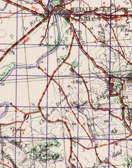
Wartime maps and aerial photos show us what roads existed in the area in 1943; most of them survive and they can all be reconstructed on modern satellite images. We can then search the area for the terrain that we see in the photo to the left of the Tiger; a bend in the road, behind it another road, and a hillside. Their alignment with Chaouache is also a clue.

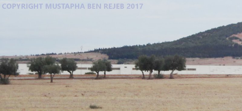
Only one location satisfies the constraints. As this modern photo shows, it has a small grove of olive trees, similar to what we see in the photos of the Tiger's excursion. By examining the curves of the road we can deduce that the officer examined Tiger 131 just behind the group of trees on the right of this photo.
Unique URL